Articles
We are pleased to announce Legacies of the Treaty of Guadalupe Hidalgo, a new traveling exhibition developed by the Bullock Texas State History Museum in partnership with Humanities Texas.
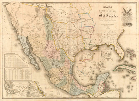
The Treaty of Guadalupe Hidalgo formally ended the U.S.-Mexico War on February 2, 1848, establishing the Rio Grande as the border between Texas and Mexico and ceding more than half of Mexico's territory to the United States. For many living in the newly acquired lands, life changed overnight: Mexicans became U.S. citizens, while Tribal Nations faced mounting pressure from U.S. removal policies. Meanwhile, a much smaller Mexico was left war-torn, and sectional conflict in the expanded United States would culminate in civil war. Despite these dramatic and far-reaching impacts, the Treaty's significance remains unfamiliar to many Americans today.
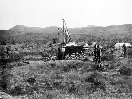
Through historical photographs, maps, artwork, and bilingual interpretive text, Legacies of the Treaty of Guadalupe Hidalgo examines the U.S.-Mexico War, the Treaty that ended it, and its lasting consequences—exploring how political, cultural, and social changes continue to shape the region's history and culture. This traveling adaptation is based on the Bullock Museum's award-winning exhibition of the same name, which received a 2025 Leadership in History Award of Excellence from the American Association for State and Local History.
The exhibition is now available for reservation through the Humanities Texas traveling exhibitions program. Designed for libraries, museums, schools, and other community venues, it features twelve double-sided, freestanding panels suitable for a variety of settings. To learn more about booking Legacies of the Treaty of Guadalupe Hidalgo for your venue, please contact our exhibitions coordinator at exhibitions@humanitiestexas.org.
Legacies of the Treaty of Guadalupe Hidalgo is curated by the Bullock Texas State History Museum, presented in partnership with Humanities Texas, and made possible by generous support from the Texas Commission on the Arts and the Kate Marmion Charitable Foundation.